


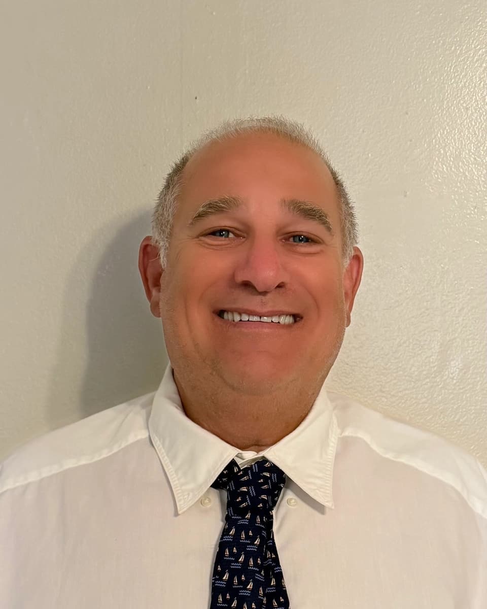
David Laferriere, PLS
Owner · Professional Land Surveyor
45+ years of professional land surveying experience.

Serving Connecticut · New York · Massachusetts
Professional Land Surveying & Geospatial Solutions
Boundary, ALTA/NSPS, topographic, construction, and geospatial surveying services throughout Connecticut, New York, and Massachusetts.
65+ Years Combined Surveying Experience · Family-Owned · Personal Service
Every project is personally managed by experienced professional surveyors—not passed from one department to another.
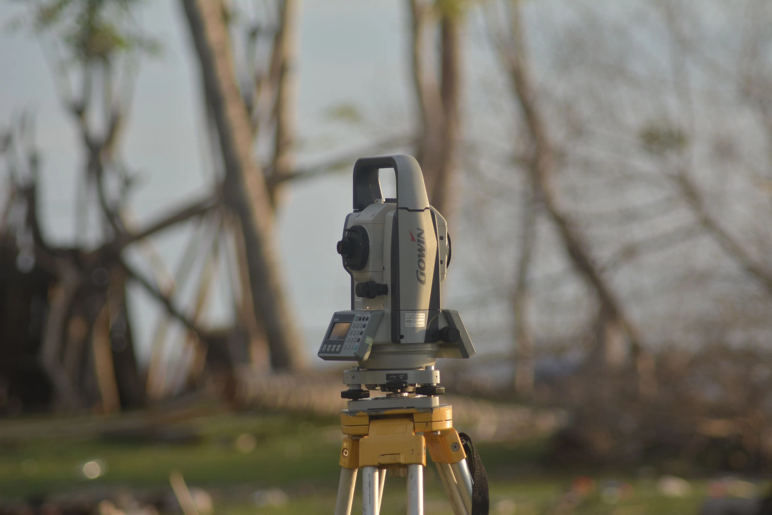
01 · BOUNDARY & PROPERTY SURVEYS
Know Exactly Where Your Property Lines Are

02 · GEOSPATIAL
Drone Mapping · LiDAR · GIS
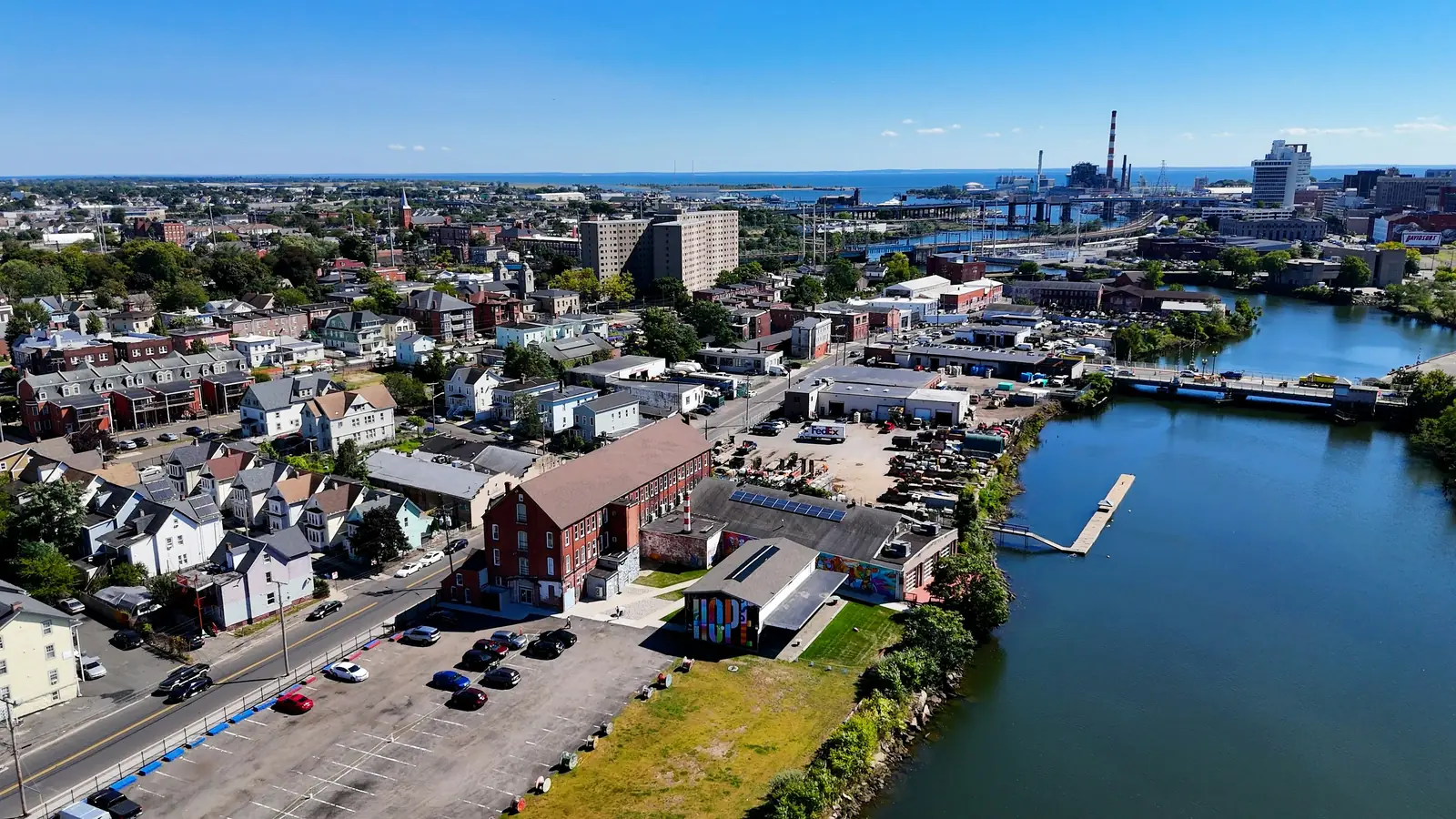
03 · COMMERCIAL
ALTA/NSPS Land Title Surveys

04 · TOPOGRAPHIC
Detailed Existing-Conditions Mapping
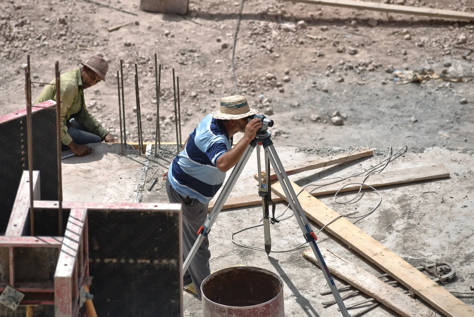
05 · CONSTRUCTION
Construction Layout & As-Built Surveys
Services · 01—14
Boundary research, field investigation, monument recovery, and mapping to help establish and document property lines.
Comprehensive land title surveys prepared to current ALTA/NSPS standards and applicable Table A requirements.
High-accuracy property and boundary surveys prepared in accordance with applicable Connecticut survey standards.
Detailed mapping of contours, elevations, structures, utilities, and site features for planning, design, and development.
Precise horizontal and vertical control using GNSS and conventional surveying methods for mapping, engineering, and construction projects.
Accurate construction stakeout and as-built documentation to support projects from layout through completion.
High-resolution aerial mapping, photogrammetry, point-cloud data, terrain modeling, and volumetric applications.
Geospatial mapping and data solutions for parcels, infrastructure, utilities, assets, and project planning.
Elevation data and FEMA documentation to support floodplain management, insurance, permitting, and related applications.
Metes-and-bounds and other property descriptions prepared from survey and record information for appropriate conveyance and documentation purposes.
Research and review of deeds, maps, prior surveys, land records, and other relevant documents supporting the surveying process.
Lot layout, boundary surveying, mapping, and plan preparation to support subdivision applications and recording requirements.
Site feasibility, lot layout, mapping, and surveying support for property evaluation, planning, and development.
Professional survey mapping, CAD drafting, data processing, and plan preparation for surveying, engineering, construction, and land-development projects.
Owner · Professional Land Surveyor
45+ years of professional land surveying experience.
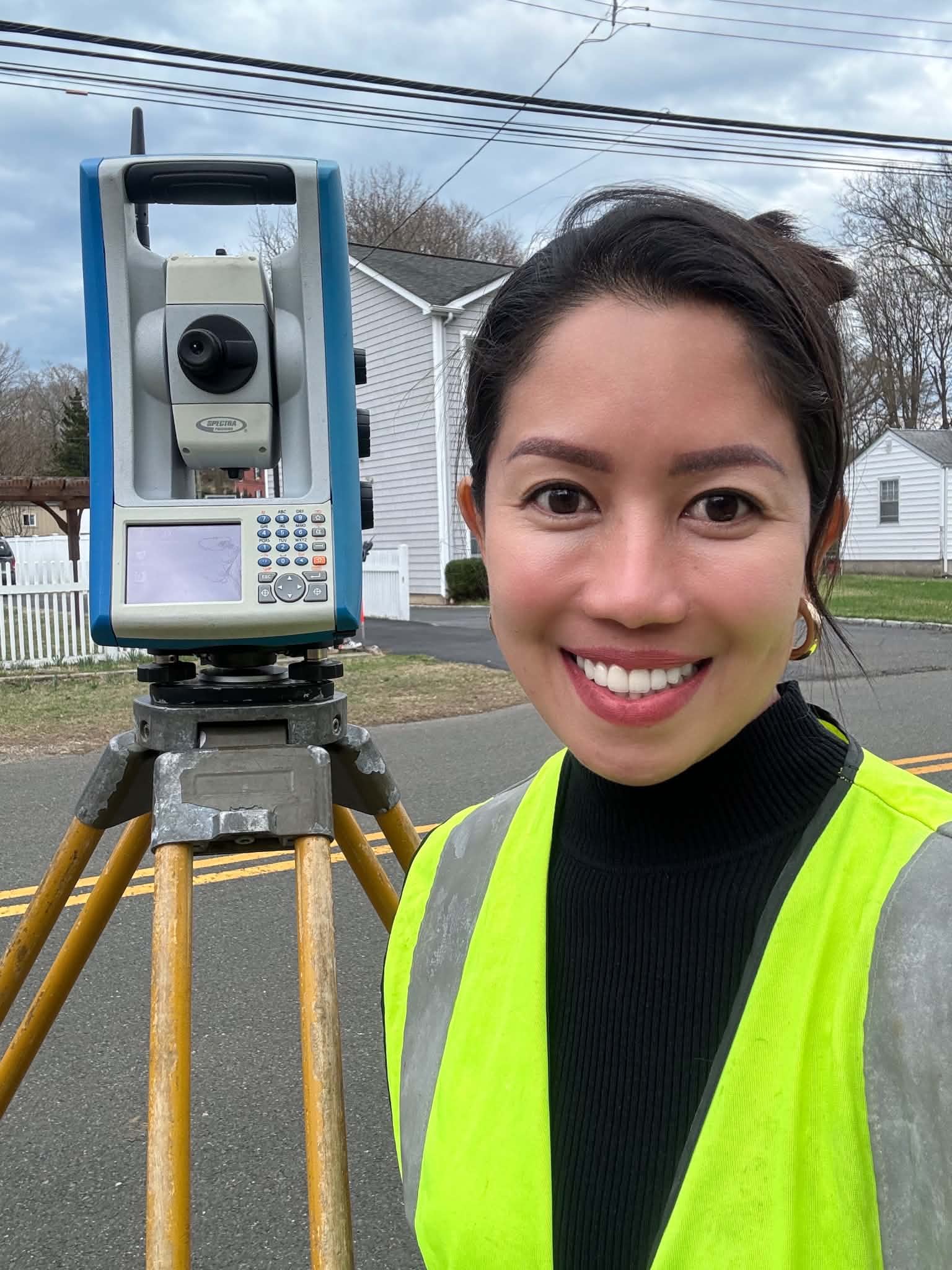
Co-Owner · Licensed Geodetic Engineer
20+ years of land surveying experience in field and office operations, mapping, project coordination, and geospatial services.
LinkedIn6 principles
Our service area
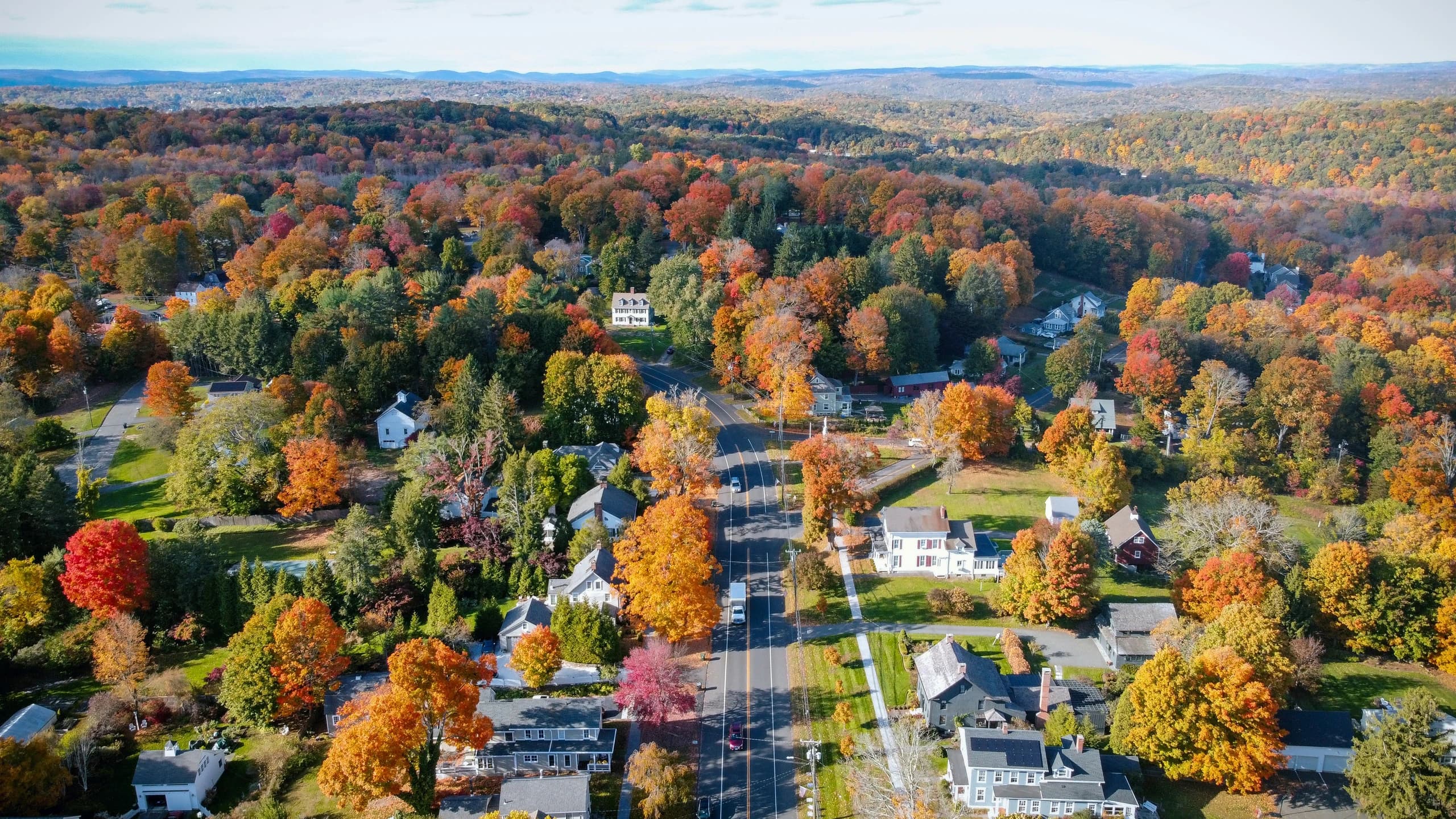
Local knowledge matters. We research applicable land records, municipal requirements, zoning information, and FEMA mapping as part of developing the appropriate scope for your project.
Tell us where your property is and what you're planning. We'll help determine the appropriate surveying services for your project.
No intake queue
01
Have questions about your property or project? Speak directly with an experienced surveying professional to discuss your needs and determine the appropriate next steps.
Call 203-263-677602
Tell us about your property and project needs. We'll review the information and provide a clear scope of services, fee proposal, and next steps.
Send the detailsSend the property address and what the survey is for. You'll get a scoped proposal, not a guess.